Submitted by Steve Turner on
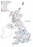
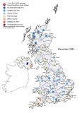
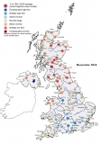
October was a mixed month, with a pronounced north-west/south-east contrast. Westerly and south-westerly winds, including ex-hurricane Ophelia and storm ‘Brian’, brought strong winds and bands of rainfall to the north and west. In contrast, the south and east was dry, with less than a third of average rainfall recorded in some parts. Given the warm, dry conditions in the south-east, soil moisture deficits (SMDs) climbed and remained above average in regions of south-eastern England. River flows were generally in the normal range or above, with flows in north Wales and northern England approaching twice the October average. In contrast, river flows in south-east England were normal to exceptionally low, with a number of catchments recording less than half the October average. A similar spatial pattern is reflected in the October groundwater status: levels in index boreholes in southern England generally fell and were below normal to notably low. Reservoir stocks were generally near to above average for October, except the London group where stocks were almost 20% below the October average, and Bewl (East Sussex) where stocks were almost 25% below average and approached the October minima. While summer was damp, the influence of the dry winter/spring of 2016/2017 is still apparent in groundwater levels and in some rivers. The long-term water resources outlook is dependent on recharge over the winter half-year, which will commence from a below-normal baseline in the south and east. The dry start to autumn has delayed the onset of replenishment, implying that above average rainfall will be needed over the late autumn to winter to return conditions to normal.
Read the full Summary here.


