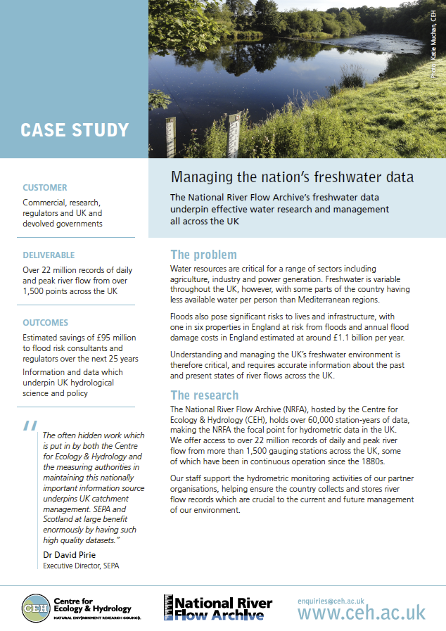
The NRFA underpins hydrological research and water-management activities in the UK and delivers data and expertise to UK Government and international organisations.
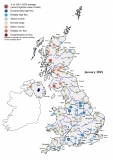
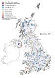
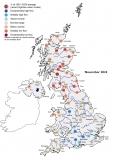
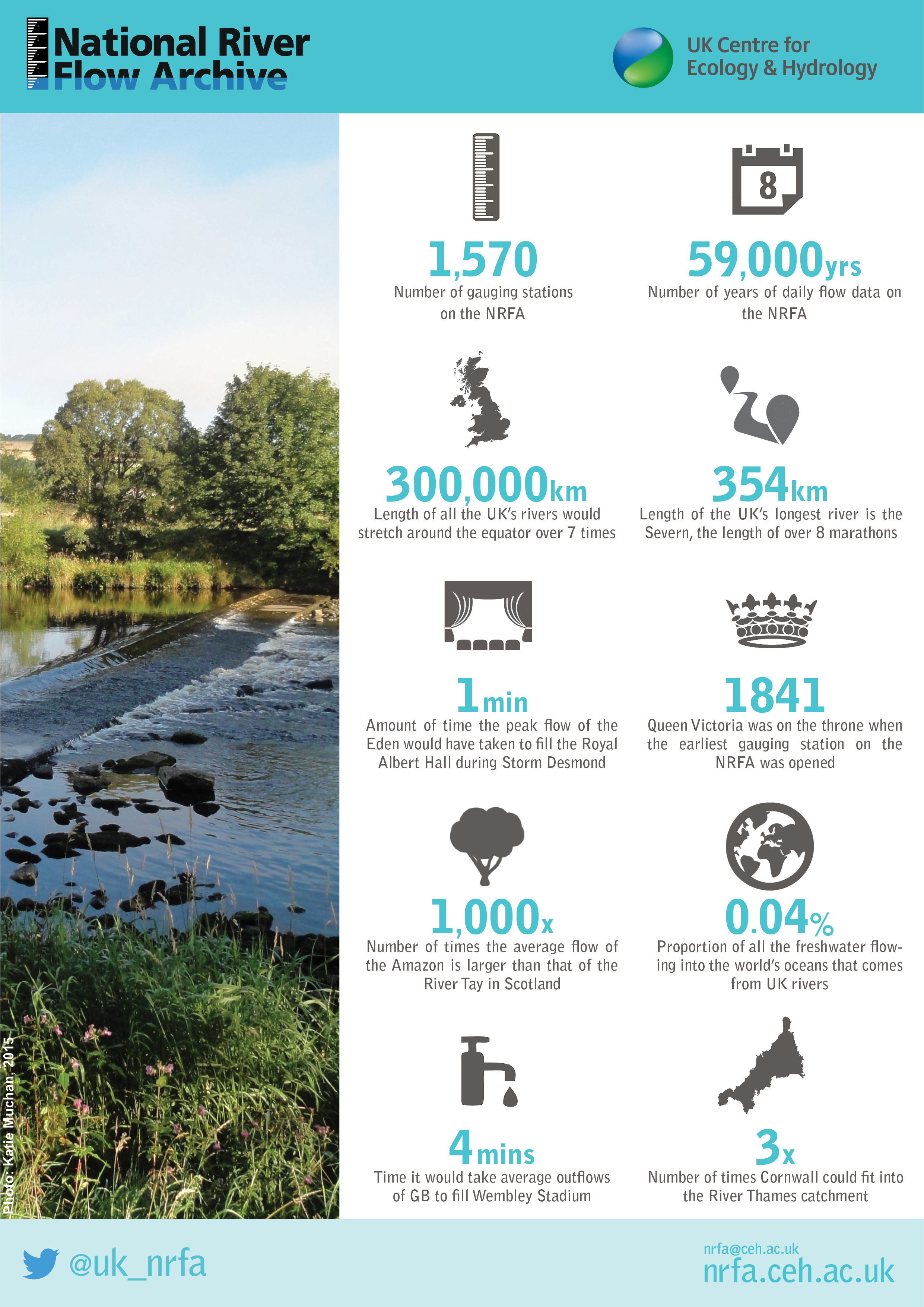
The NRFA acts as the main focal point for hydrometric data in the UK, providing stewardship of, and access to, daily, monthly and flood peak river flow data from over 1,500 gauging stations across the UK.
The NRFA collates, quality controls, and archives hydrometric data from gauging station networks across the UK including the extensive networks operated by the main UK Measuring Authorities; the Environment Agency (England), Natural Resources Wales, the Scottish Environment Protection Agency and for Northern Ireland, the Department for Infrastructure - Rivers. NRFA data also include catchment rainfall totals, derived from Met Office data, and various spatial data sets (e.g. digital elevation data, land cover, geology and hydrogeology), developed by the UK Centre for Ecology & Hydrology (UKCEH) and the British Geological Survey (BGS).
The NRFA supports the hydrometric monitoring activities of our partner organisations and offers independent, authoritative commentary on issues related to river flow measurement.
The NRFA is a major component of UKCEH's Environmental Information Data Centre.
 |  | |
| Download PDF |