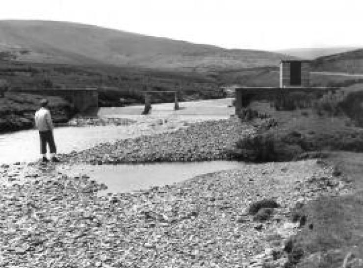
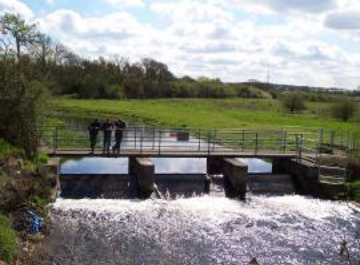
The National River Flow Archive (NRFA) is the UK’s central repository for river flow data. We collect, quality control, and archive hydrometric data from 1,600 gauging stations across the UK, including extensive networks operated by the Environment Agency (England), Natural Resources Wales, the Scottish Environment Protection Agency and for Northern Ireland, the Department for Infrastructure - Rivers.
Our data also encompasses catchment rainfall totals, derived from Met Office data, and various spatial data sets (e.g. digital elevation data, land cover, geology and hydrogeology), developed by the UK Centre for Ecology & Hydrology (UKCEH) and the British Geological Survey (BGS).
Mandated by the UK government (Defra) and the devolved administrations of Northern Ireland, Scotland and Wales, the NRFA maintains and provides access to a comprehensive database of the UK's river flows, offering crucial information on national water resources.
The NRFA data underpins much of the hydrological research and water resource development and management activities in the UK. It delivers data and expertise to the UK Government and international organizations. Peak flow datasets from the archive form the basis of UK industry-standard flood frequency estimates for planning and development purposes.
We support the hydrometric monitoring activities of our partner organisations and offer independent, authoritative commentary on river flow measurement issues. The NRFA not only provides a central database and retrieval service but also promotes best practices in hydrometric monitoring and adds an extra level of data validation.
Complementing the NRFA is the National Hydrological Monitoring Programme (NHMP), which provides authoritative commentary on current hydrological conditions and the status of water resources.
The NRFA is a major component of UKCEH’s Environmental Information Data Centre.