National River Flow Archive (NRFA) staff Steve Turner, Mark Rhodes-Smith, and the NRFA Southwest regional representative, Gayatri Suman, carried out a two-day visit to the Cornwall area on Thursday 5th and Friday 6th June 2025. The first day began with a meeting at the Environment Agency's Bodmin office, followed by visits to nearby gauging stations. The second day was spent visiting additional gauging stations in eastern Cornwall.
The sites visited were selected for their importance, while ensuring a range of catchment sizes, high and low-flow sites, and gauging methods. Some sites were also selected with known complications to their flow record, such as sediment build-up in the channel.
We were accompanied on our visits by Hydrometry and Telemetry officers from the Environment Agency. At each site we discussed the operation of the gauging stations, potential updates to their metadata, and any recent upgrades. These conversations help us to enhance the information provided by the NRFA.
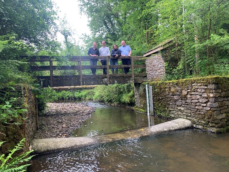
On the first day, we visited the Gannel at Gwills (49004), a National Hydrological Monitoring Programme (NHMP) site featuring a crump profile weir. At the Fowey at Restormel (48011) we also saw fish-counting infrastructure that has been installed on the weir crest. We ended the day at the Warleggan at Trengoffe (48004), another NHMP site featuring a three-bay compound Crump profile weir.
On the second day, we visited De Lank at De Lank (49003), a site high on Bodmin moor, used to regulate abstractions at the nearby water treatment works. We then visited the Tamar at Polson Bridge (47019), an informal Flat V control, which has been recently undergone extensive upgrades, and which sees some extreme flood events. We then set out for the Thrushel at Hayne Bridge (47018), where sedimentation and erosion are significant. We ended our visit with a long walk to the Wolf at Germansweek (47025), a velocity area station in a relatively small catchment just upstream from the Roadford reservoir, one of the reservoirs featured in our monthly Hydrological Summary for the UK.
The NRFA aims to conduct between two and three measuring authority liaison visits a year across the UK’s 24 regional hydrometric data providers.
Thank you to Environment Agency Cornwall Area Hydrometry and Telemetry team who hosted the office meeting and field visit. It has proved very useful and will help inform our next round of updates to the archive.